


2018 School Spending Survey Report
Captivating Cartography | Maps To Direct, Delight, and Discover
Maps, atlases, gazetteers, and more pull readers into landscapes across the earth and sky, onto modern roads, and into history.
Maps abound online, but it is still a sure bet that patrons of all ages love to pore over the paper maps, graphics, and satellite images found in atlases and other forms of gazetteers. The contents are inspiring—even the most practical of road atlases is a stunning feat of information-gathering and graphic design—but that’s just the beginning of mappable data. Specific phenomena, events, and what can only be described as flights of fancy provide hours of visual engagement and a lifetime’s worth of knowledge.
The Big Picture
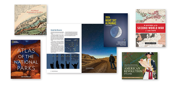
Atlas of the World. 30th ed. Oxford Univ. 2023. 448p. ISBN 9780197697429. $95.
This essential reference is updated annually, and each edition includes new maps, satellite images, data, and narrative sections. For instance, this year’s volume contains maps showing revised province boundaries in Indonesia and the United Kingdom, up-to-date population statistics for all independent countries, and a six-page feature titled “Biodiversity on the Brink.”
Collins World Atlas: Essential Edition. Collins Maps. 2022. 128p. ISBN 9780008436179. $17.95.
This budget- and shelf space–friendly atlas is a solid option for classrooms as well as public libraries. It is abbreviated but more current than the Collins World Atlas: Complete Edition, the latest version of which came out in 2020. New in the 2023 work are, for example, country name changes: Czechia (formerly Czech Republic), Eswatini (formerly Swaziland), and North Macedonia (formerly Macedonia).
Compact World Atlas. 8th ed. DK. 2023. 192p. ISBN 9780744073690. $15.
Also budget-friendly and with a look that’s familiar to younger readers who are just graduating to the adult collection, DK’s work offers two main sections: a global overview, followed by a country fact-file portion. Lovers of almanacs will enjoy seeing the country flags and information on local currency, languages, and more.
National Geographic Concise Atlas of the World. 5th ed. National Geographic. 2022. 200p. ISBN 9781426222511. $29.99.
This is the smaller cousin of National Geographic Atlas of the World, the most recent edition of which came out in 2019. The gorgeous maps and photos readers expect are here, along with a section on space that includes diagrams of the solar system and the universe.
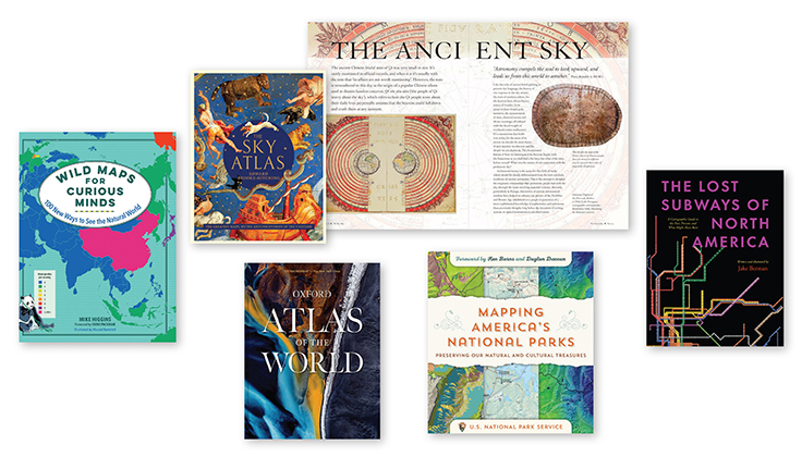
The Times Comprehensive Atlas of the World. 16th ed. HarperCollins UK. 2023. 528p. ISBN 9780008610111. $260.
This is comparable in cartographic and narrative quality to the Oxford atlas above, but it isn’t updated annually. The mapping in this edition is fully updated and includes over 200,000 place names. As an intriguing companion read, introduce patrons to Why North Is Up: Map Conventions and Where They Came From (Bodleian Lib.: Univ. of Oxford) by Mick Ashworth, a consulting editor on the Times atlas.
Looking to the Skies
Brooke-Hitching, Edward. The Sky Atlas: The Greatest Maps, Myths, and Discoveries of the Universe. Chronicle. 2020. 256p. ISBN 9781797201184. $35.
Celestial cartography has preoccupied many cultures. In this rich resource, Brooke-Hitching highlights centuries of maps and artworks that depict the night sky and what humanity’s ancestors saw there. Alongside the images are stories and analysis of ancient myths related to the stars.
Karkoschka, Erich. Observer’s Sky Atlas: The 500 Best Deep-Sky Objects with Charts and Images. 4th ed. Firefly. 2023. 144p. ISBN 9780228104100. $39.95.
This update of a classic is in color for the first time. Its 61 new star charts will work for observers until 2060, and data has been updated with information from the Gaia spacecraft. Novices, who might not know what to look for in the sky at first, will enjoy the “500 best” formulation, but the material is also suitable for more advanced stargazers.
Mortillaro, Nicole. 2024 Night Sky Almanac: A Month-by-Month Guide to North America’s Skies from the Royal Astronomical Society of Canada. Firefly. 2023. 128p. ISBN 9780228104322. $14.95.
On April 8, 2024, Canada, Mexico, and the United States will see a stunning solar eclipse. Mortillaro’s work features information for those readying for that event, extras such as ways to use one’s hands to measure angles in the sky, and the promised month-by-month companion to viewing the stars.
National Geographic Stargazer’s Atlas. National Geographic. 2022. 432p. ISBN 9781426222207. $65.
Charts of the night sky in all seasons in the Northern and Southern Hemispheres are the meat of this work; bonuses are its coverage of astrotourism and current and future space missions.
Closer to Home
Rand McNally 2024 Road Atlas: 100th Anniversary Collector’s Edition. Rand McNally. 2023. 144p. ISBN 9780528027185. $24.99.
Online maps have largely supplanted road atlases when it comes to getting directions, but planning a road trip is easier with a large paper resource at hand, and isn’t a paper map better at creating the romance of the road? This collector’s edition, which offers maps of the United States, Canada, and Mexico, also looks back at a century of car culture and showcases the previous editions’ covers, offering a fun resource for history and marketing students.
U.S. National Park Service. Mapping America’s National Parks: Preserving Our Natural and Cultural Treasures. Esri. 2021. 304p. ISBN 9781589485464. $39.99.
Esri is the world’s leading producer of geographic information system (GIS) software, and here their maps are accompanied by discussions with National Park Service staff about how they use GIS to navigate, document, and protect the lands under their care.
Waterman, Jon. National Geographic Atlas of the National Parks. National Geographic. 2019. 432p. ISBN 9781426220579. $65.
This resource can perform crossover duty between the reference and travel collections. Waterman, a former National Park Service ranger, offers in-depth information on what makes each park unique, accompanied by sumptuous maps and photographs. Waterman is also the author of the 2023 National Geographic Atlas of Wild America.
Under Our Feet
Kassel, David. A Slice Through America: A Geological Atlas. Princeton Architectural. 2020. 128p. ISBN 9781616898311. $60.
Stratigraphic illustrations, maps of the layers of the Earth, are the focus of this gorgeous work. Kassel, a collector of such maps, presents images of what lies beneath public lands in the United States, offering a fascinating look at a normally invisible record of natural and human history.
Ovenden, Mark. Underground Cities: Mapping the Tunnels, Transits, and Networks Underneath Our Feet. Frances Lincoln. 2020. 224p. ISBN 9781781318935. $40.
Reminiscent of David Macaulay’s cutaway views of various phenomena, Ovenden’s exploration of the (mostly) hidden infrastructure under cities includes photographs, diagrams, maps, and extensive historical and current details. Entries cover “roads to nowhere” in Sydney, the first rail tunnels in Liverpool, how Los Angeles was made for streetcars, and more.
Palsky, Gilles & others. An Atlas of Geographical Wonders: From Mountaintops to Riverbeds. Princeton Architectural. 2019. 208p. ISBN 9781616898236. $50.
This lovely compendium of 156 illustrations offers historical maps that compare the lengths of rivers and the heights of mountains worldwide. Juxtaposing geographically disparate landforms on the same map creates captivating imaginary landscapes and provides a wonderful browse.
Phenomena
Berman, Jake. The Lost Subways of North America: A Cartographic Guide to the Past, Present, and What Might Have Been. Univ. of Chicago. 2023. 272p. ISBN 9780226829791. $35.
Based on Berman’s cartographic series of the same name, this work presents maps of subways that no longer exist, as well as those that were planned but never built, such as the 1865 New York City subway design that “ran afoul of the horse-pulled streetcar interests.” Related transit history is also mapped, including long-gone streetcar lines.
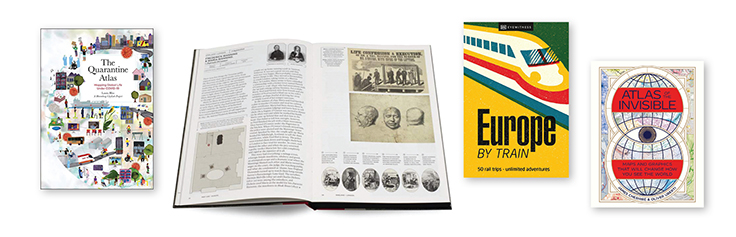
Bliss, Laura & Bloomberg CityLab Project. The Quarantine Atlas: Mapping Global Life Under COVID-19. Black Dog & Leventhal. 2022. 224p. ISBN 9780762478125. $32.
Based on a request from Bliss and fellow Bloomberg CityLab journalist Jessica Lee Martin, asking their readers to map their own experiences of COVID-19 quarantine, this compendium of personal maps is a rich and emotional look at daily existence when life was anything but humdrum. Try it in a library makerspace to inspire patrons to map their own experiences.
Brown, Matt & Rhys B. Davies. Atlas of Imagined Places: From Lilliput to Gotham City. Batsford. 2021. 168p. ISBN 9781849946414. $34.99.
Patrons who dream about visiting Winnie the Pooh’s house or the Animal Farm farm can consult Brown and Davies’s work and discover that these fictional locations are neighbors. As well as places in literature, the authors also map locales from film, TV, mythology, comics, and video games.
Cheshire, James & Oliver Uberti. Atlas of the Invisible: Maps and Graphics That Will Change How You See the World. Norton. 2021. 224p. ISBN 9780393651515. $40.
In this winner of the Globe Book Award for Public Understanding of Geography, Cheshire (a professor of geographic information and cartography at University College London) and Uberti (former design editor for National Geographic) use the world of data to create maps and commentary on topics as diverse as human happiness and how climate change affects the annual hajj pilgrimage.
Europe by Train. DK Eyewitness Travel. 2023. 272p. ISBN 9780241616024. $24.99.
Photos of the interior of the Orient Express are just one of the delicious side items available here. The main draw: large maps of European train routes, smaller diagrams showing shorter slices of rail travel, and lengthy narratives describing the cities, towns, and attractions that can be reached via train on the rail-dense continent of Europe.
Fretwell, Peter. Antarctic Atlas: New Maps and Graphics That Tell the Story of a Continent. Particular Bks. 2021. 208p. ISBN 9781846149337. $65.
The southernmost place on the planet is not a locale for which most people need a travel guide, but an expert look at the terrain, its past, and its jeopardized future is valuable reading. Fretwell, cartographer and scientist with the British Antarctic Survey, is a specialist in using satellite imagery and did so to find many of Antarctica’s known emperor penguin colonies—and penguin colonies are among the features mapped here.
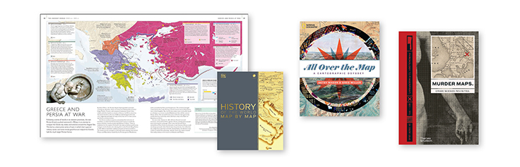
Gray, Drew. Murder Maps: Crime Scenes Revisited, Phrenology to Fingerprint, 1811–1911. Thames & Hudson. 2020. 224p. ISBN 9780500252451. $35.
Gray, a social historian of the 18th and 19th centuries, is the author of The Police Magistrate, a blog about Victorian crime and punishment, so he’s well qualified to present period maps and present-day forensic analysis of the most notorious crimes of that era.
Higgins, Mike (text) & Manuel Bortoletti (illus.). Wild Maps for Curious Minds: 100 New Ways To See the Natural World. The Experiment. 2022. 192p. ISBN 9781615198924. $19.95.
Atlas Obscura fans will enjoy these maps, succinct looks at surprising and absorbing historical and contemporary facts and phenomena. Among them are a view of the world’s oceans as one body of water, a map of the longest walk one can take in a straight line, and a diagram of how the planets might fit into the space between Earth and its moon.
Nikolic, Zoran. Atlas of Unusual Borders: Discover Intriguing Boundaries, Territories, and Geographical Curiosities. Collins UK. 2019. 256p. ISBN 9780008351779. $24.95.
Balkan borders are famously plastic, but their shifting lines are not the only way the world has created odd “remnants of countries,” to quote this book. Learn here why calls from the rest of Italy to the Italian city of Campione are treated as international, which Spanish city belongs to Spain for half the year and to France for the other half, and more intriguing facts.
Ovenden, Mark & Maxwell Roberts. Airline Maps: A Century of Art and Design. Penguin Bks. 2019. 144p. ISBN 9780143134077. $30.
This browser’s delight by the authors of Transit Maps of the World includes vintage and current maps and posters of air travel. How airlines have made what could be mundane—a line between two places—into a symbol of romance and intrepidness will fascinate readers of marketing, design, and history, as well as cartography. A succinct history of the business of air travel is a bonus.
History
Black, Jeremy. A History of the Second World War in 100 Maps. Univ. of Chicago. 2020. 256p. ISBN 9780226755243. $35.
Histories of various things in 100 items had a moment a few years ago, and this is a great example of that trend. Military, diplomatic, and cartographic historian Black asserts here that maps produced for the war effort during WWII had a significant effect on the conflict and thus on the world—not just maps that aided in military maneuvers, such as those that charted the terrain invaded on D-Day, but also those that were used as propaganda instruments.
Bonk, David C. & George Anderson. Atlas of the Battles and Campaigns of the American Revolution, 1775–1783. Helion. (From Reason to Revolution). 2023. 244p. ISBN 9781914059797. $75.
Using maps from the American Revolution held at the Library of Congress (see the LOC’s map-specific blog at blogs.loc.gov/maps) and topographic maps from the 1880s, Bonk and Anderson, both passionate wargamers and military historians, outline the war, from huge battles to minor skirmishes.
Ellis, L.F. Victory in the West Atlas: The Battle of Normandy & the Defeat of Germany. Naval & Military Pr. 2023. 172p. ISBN 9781474538824. $56.
Published by Her Majesty’s Stationery Office (HMSO), The History of the Second World War is the British government’s official record of the war. This book reproduces “all 96 general, situation, and sketch maps” from the HMSO work, offering readers of WWII history a bird’s-eye view of events in Western Europe from D-Day to the final fighting in March 1945.
History of the World Map by Map. DK/Smithsonian Institution. 2018. 440p. ISBN 9781465475855. $50.
There’s a lot more than maps here: reproductions of non-cartographic artworks, timelines, and bite-size info boxes combine to create a graphics-heavy and fact-packed look at world history. The book’s crisp maps include both period works and bespoke editions created for this volume, illustrating the movements of peoples and phenomena across time.
Mason, Betsy & Greg Miller. All Over the Map: A Cartographic Odyssey. National Geographic. 2018. 320p. ISBN 9781426219726. $50.
In a chatty style, Mason and Miller, creators of National Geographic’s All Over the Map blog, introduce and tell stories related to interesting maps of all kinds, from an ancient Roman street map to schematics for the Death Star from Star Wars.
Parker, Philip. The Atlas of Atlases: Exploring the Most Important Atlases in History and the Cartographers Who Made Them. Ivy Pr. (Liber Historica). 2022. 272p. ISBN 9780711268050. $40.
Offering a historical survey of atlases, this riveting assemblage presents important collections of maps over the ages and their creators as well. It is fascinating to see developments in cartographic styles and technologies, as well as changes in what was thought important to include on maps.
Look Online
Lastly, some patrons may want to explore cartography in even more scholarly detail. Introduce them to The Map Room, which covers developments in cartography, including GIS, and related books and other publications. A list of additional cartography-centric blogs is available; find a list of relevant podcasts here.
Henrietta Verma, formerly LJ’s Reviews Editor, is a librarian, the author of How To Get Your Book into Libraries and Reviews Are In, and the cofounder and coauthor of First Clue (firstcluereviews.com), a free weekly newsletter that reviews mysteries and thrillers as far in advance of publication as possible.

Added To Cart
RELATED


RECOMMENDED


TECHNOLOGY

ALREADY A SUBSCRIBER? LOG IN
We are currently offering this content for free. Sign up now to activate your personal profile, where you can save articles for future viewing
ALREADY A SUBSCRIBER? LOG IN
Thank you for visiting.
We’ve noticed you are using a private browser. To continue, please log in or create an account.

Add Comment :-
Comment Policy:
Comment should not be empty !!!